

Aug 22, 2024
I've surprisingly never been to this area before. I decided to hit the area for the day and map 3 trails that I thought might be interesting and that were previously unmapped. There was only one trail in this area that had previously been mapped and it was described as easy. It was hard to judge the areas trails, using the resources I have available, but most looked to be on the easy side with a few possibly being moderate trails.
I attempted to call the local Ranger Station, Washougal Ranger Station, in preparation for the trip but didn't get an answer nor a call back. This trail system is not in a National Forest area and the majority of the land is owned by Washington State. There were a few areas of private land that are owned by a logging company. I did make contact with the logging company and was told I was okay to be on the trails as long as the gates were open and they asked that I stay on the trail and to not deviate off.
I hit the trails about 7am and I encountered light rain for the 1st hour but after that, the rain stopped and the rest of the day was mainly just overcast, foggy with some sporadic light drizzle here and there. Towards the end of the day, the sun did peak though..
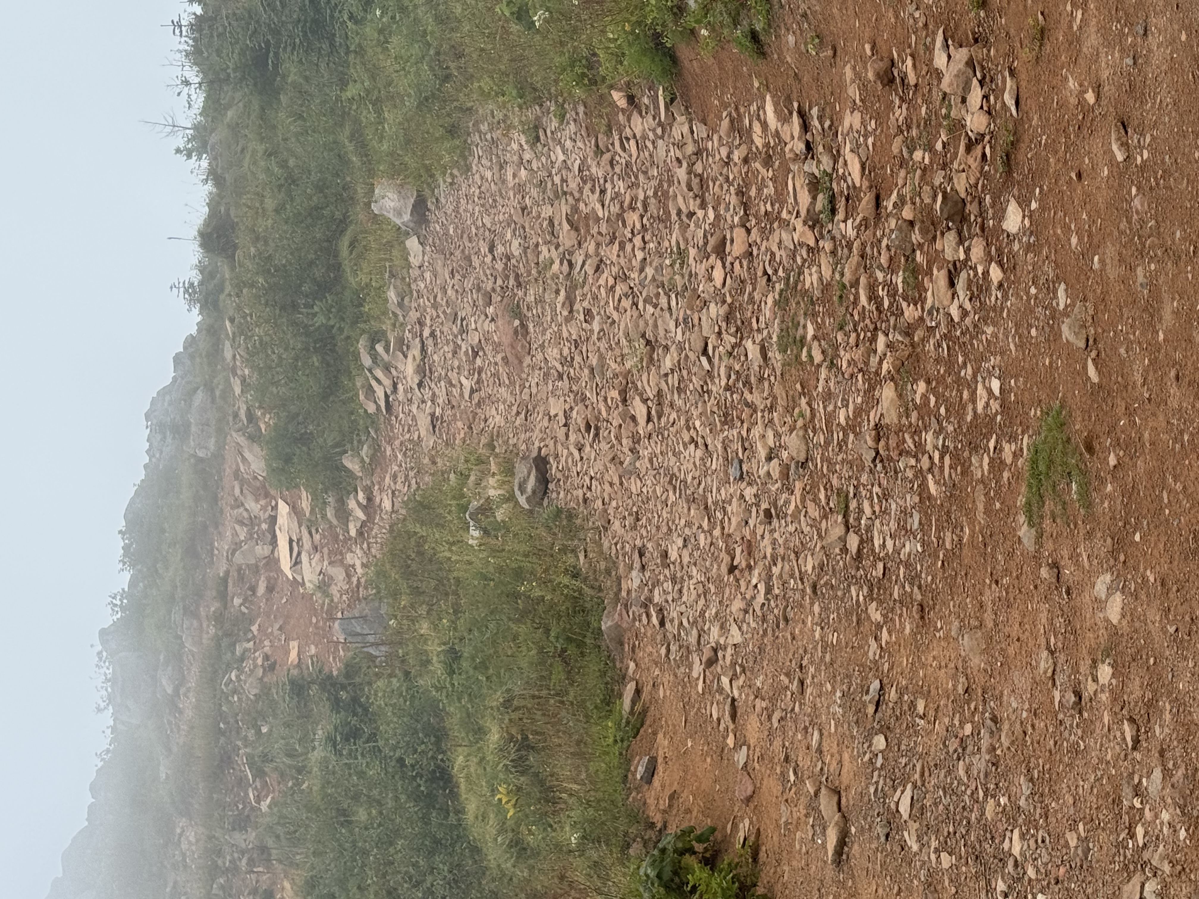
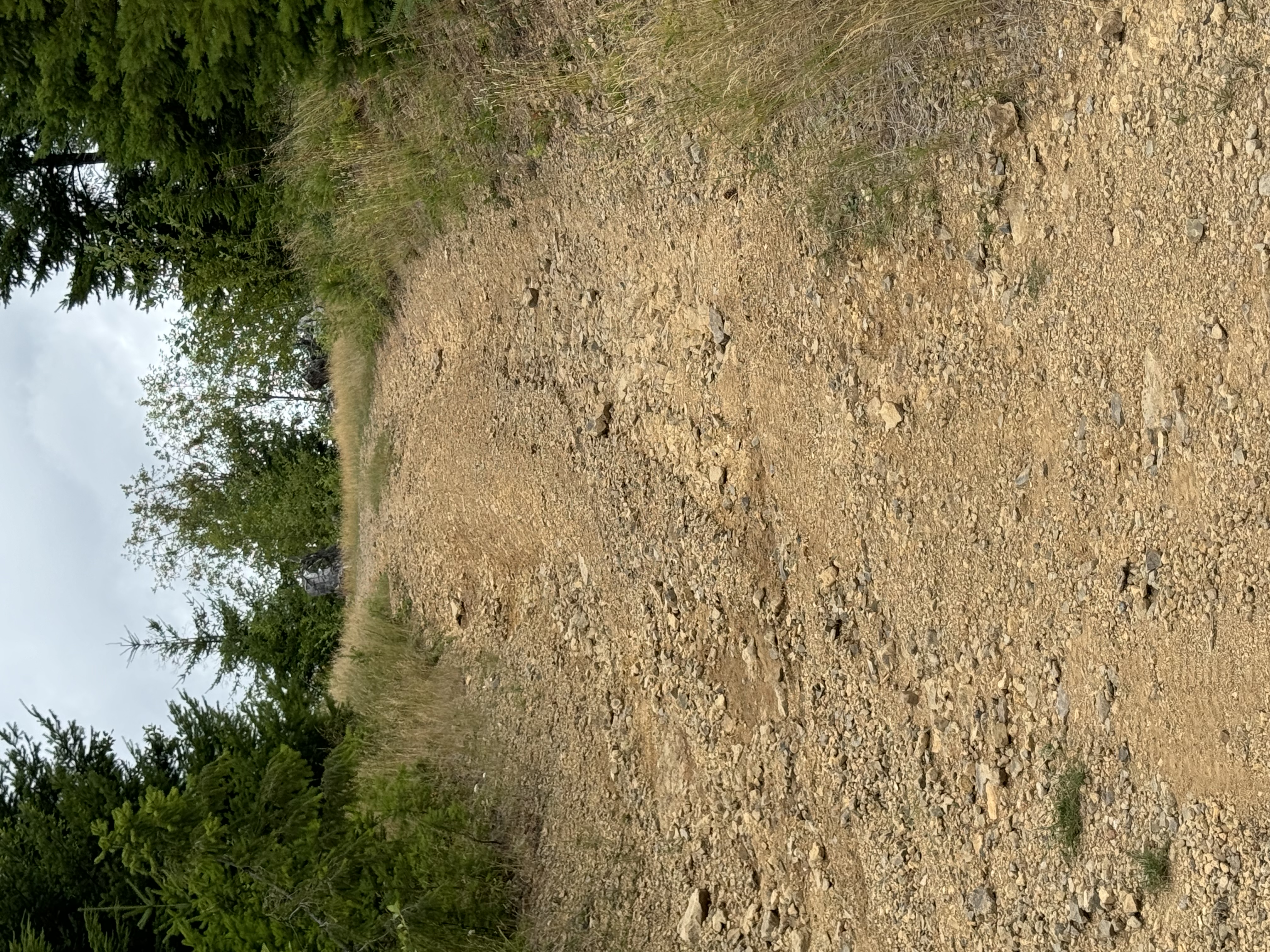
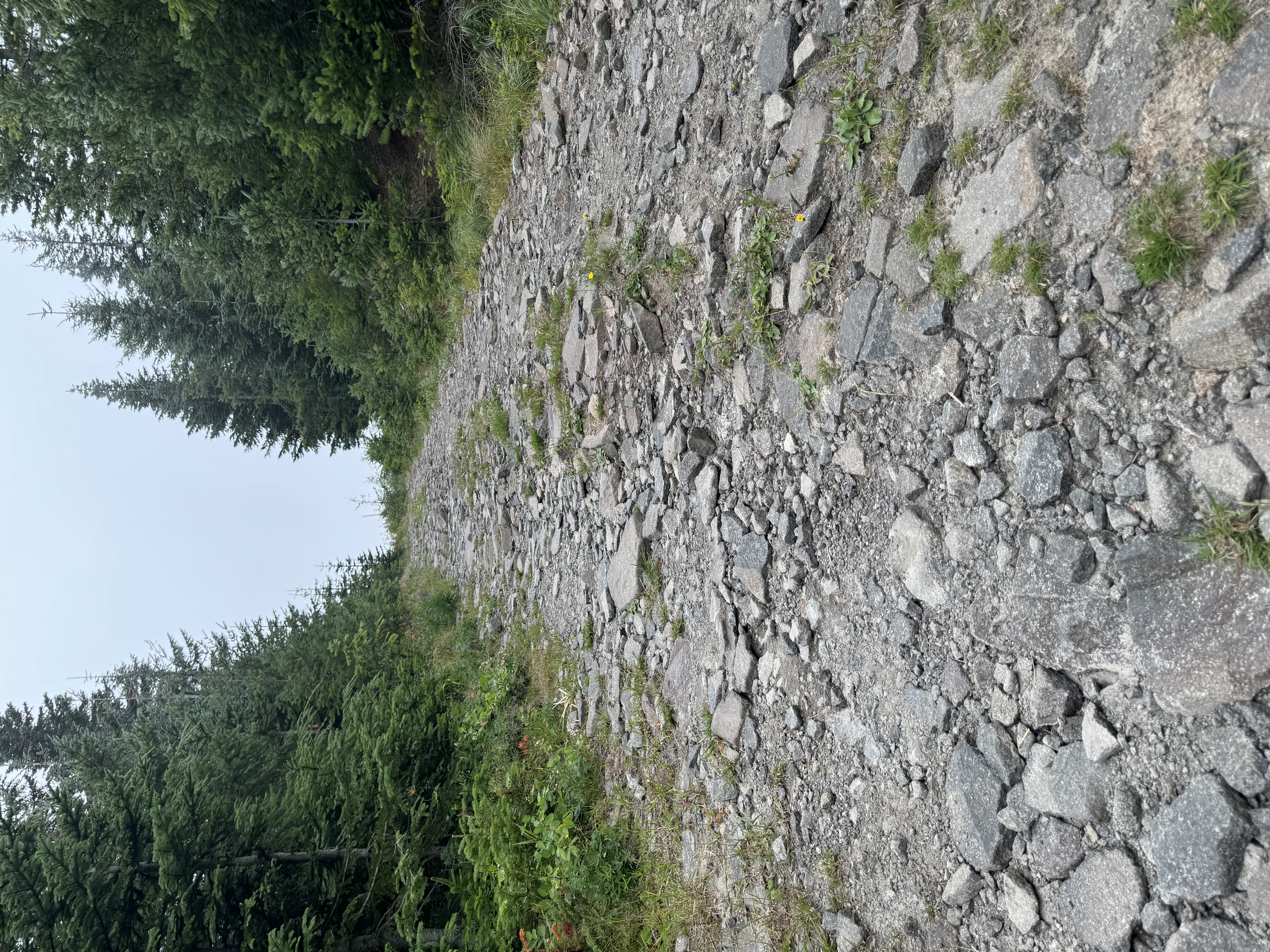
Oddly enough, the 1st trail I mapped was not even listed as a trail. It was listed as a well maintained forest road but it was anything but that so I mapped it. This trail was a mix of lose gravel, hard packed gravel and dirt. There were ruts, washouts, washboards and a few mud holes along the way. This was overall a fun trail and probably my 2nd favorite trail of the day. Odd considering it's not even listed as a trail. Funny how that works sometimes.
The 2nd and 3rd trail were easy'ish dirt, lose and hard packed gravel trails with some ruts and washouts both had a little bit of mud but it was wet mud that was just filling the ruts.. None of these trails were overgrown like you'd find in some of the deep forest trails in Gifford National Forest.
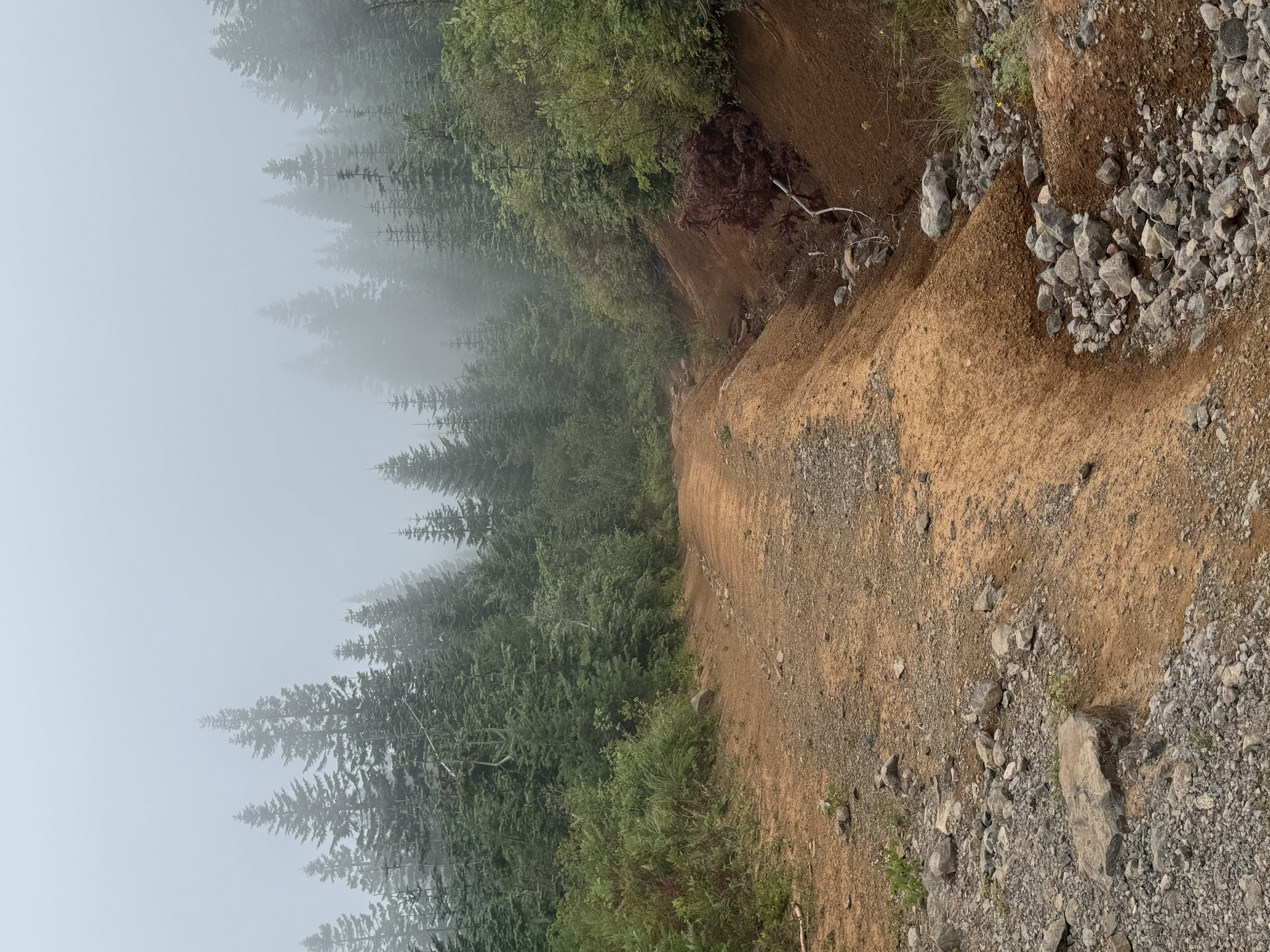
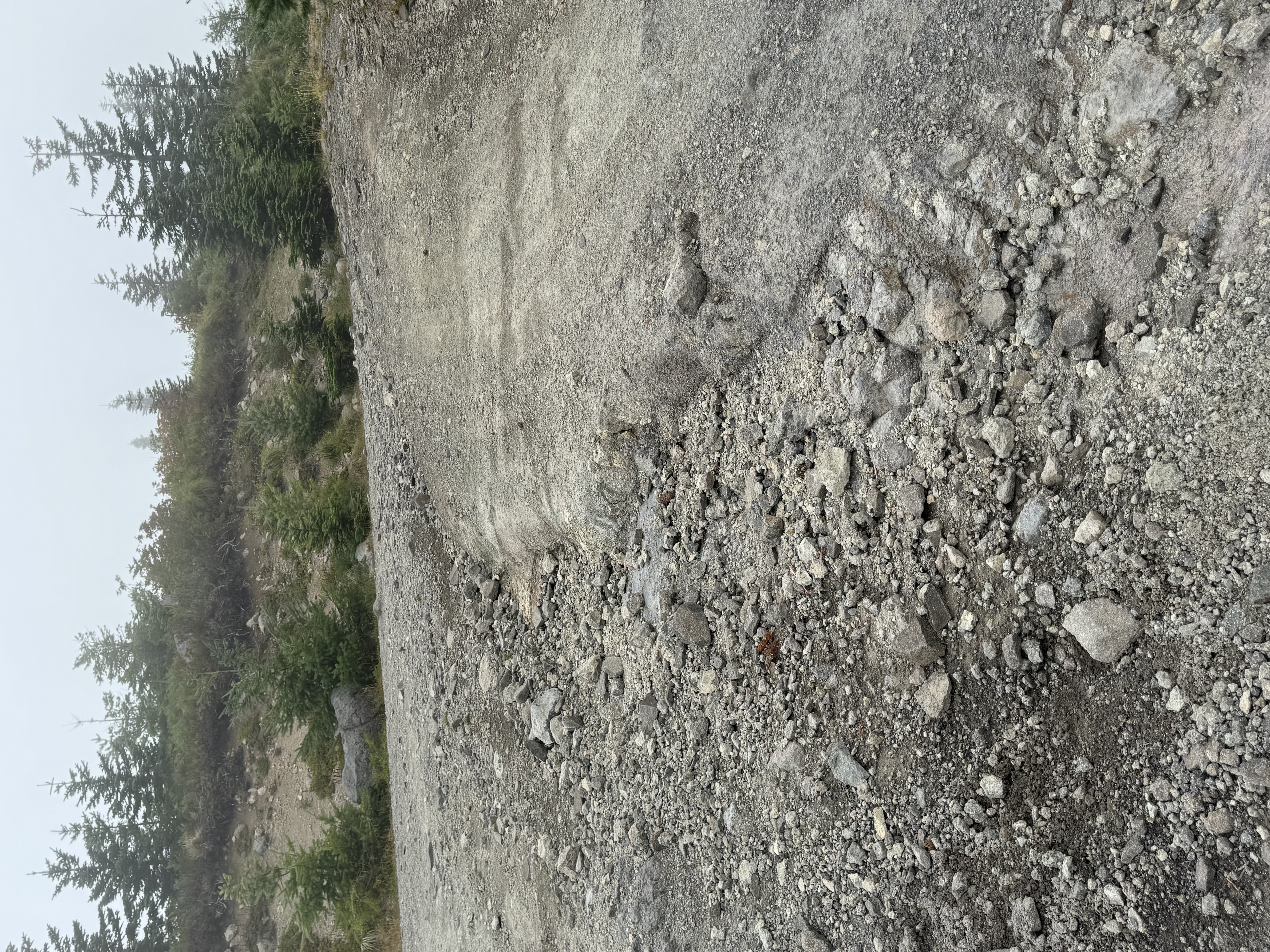
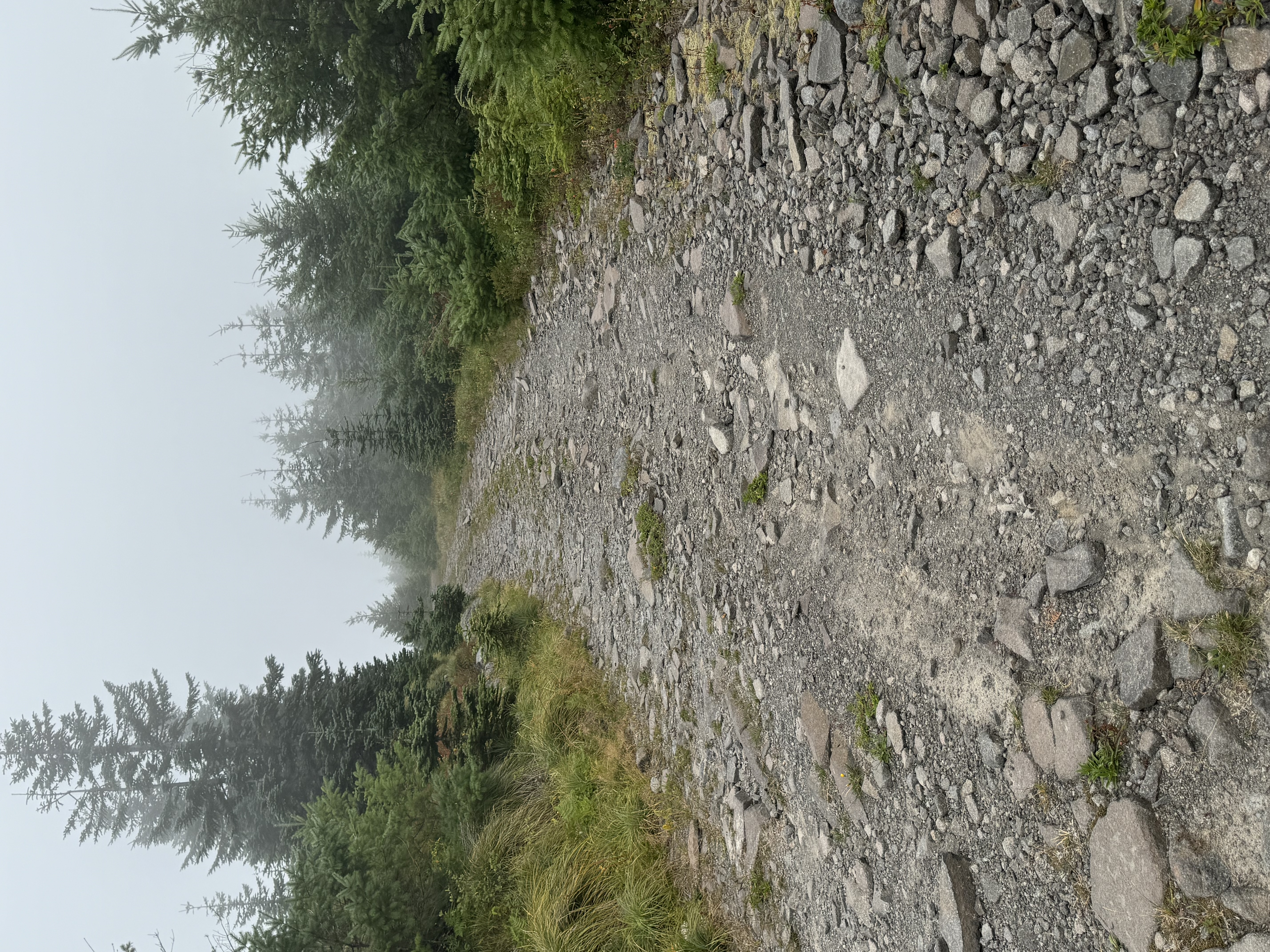
The 4th trail ended up being my favorite. I had to abandon this trail about 1 mile before its official end due to trail conditions. This trail started off fairly easy then progressively got worse the further down it I traveled. At one point, there was a very sharp switchback that had a fairly steep climb mixed in with it. Coming out of this switchback reveled a completely different trail. This section was rocky, seriously eroded and had massive ruts, washouts and boulders. There was also what some people call 'woops' but these were so large they were more like 'what_the_holy_oops'.. I dragged the front bumper on a few as they were steep and deep..
At this point there was about 2 miles of the trail left. I made it about another mile through this absolute mess of a trail before calling it quits with about a mile left of it. If I had not been solo and / or if I had a competent spotter I would have tried to continue on but the risk as a solo was to great so I decided to abandon it. The section in question was a rock wall, about 3 feet high, that needed to be traversed but it was not just that, the trail was also seriously eroded, washed out and had a semi challenge rock path leading up to it. Once clearing that rock wall, it did not get much better from what I could tell..
Photos: (more in next post)
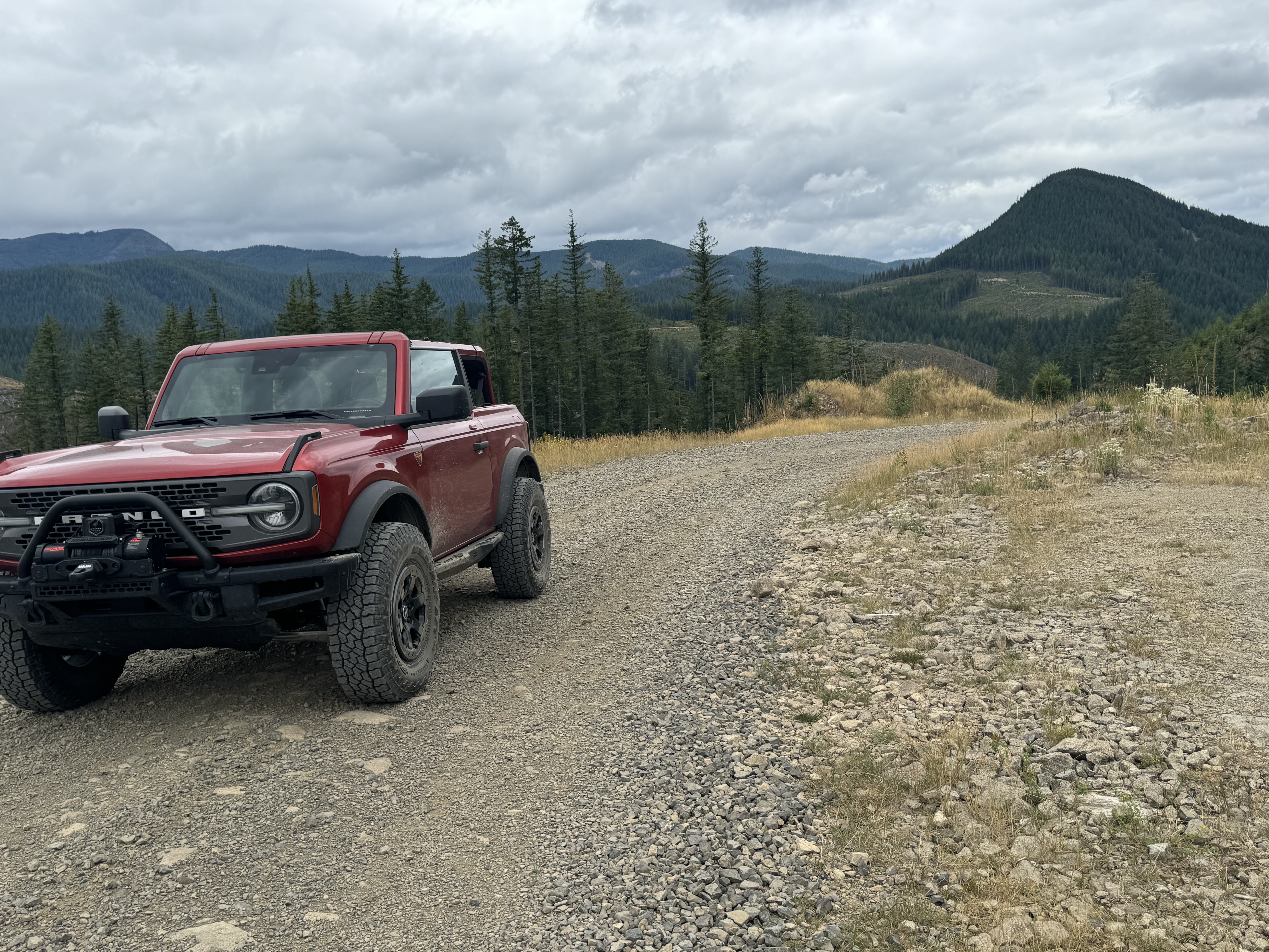
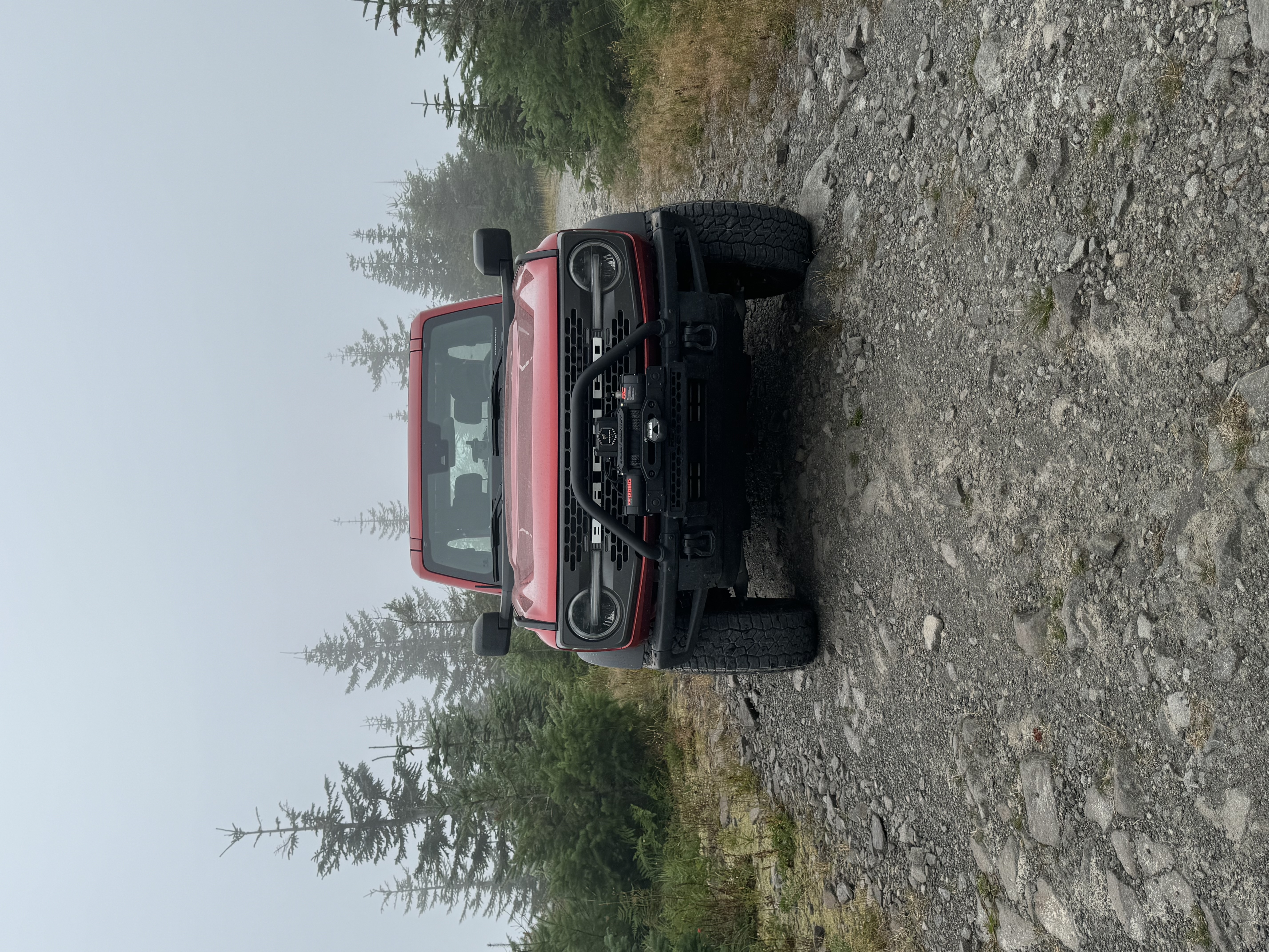
The star of the show!:
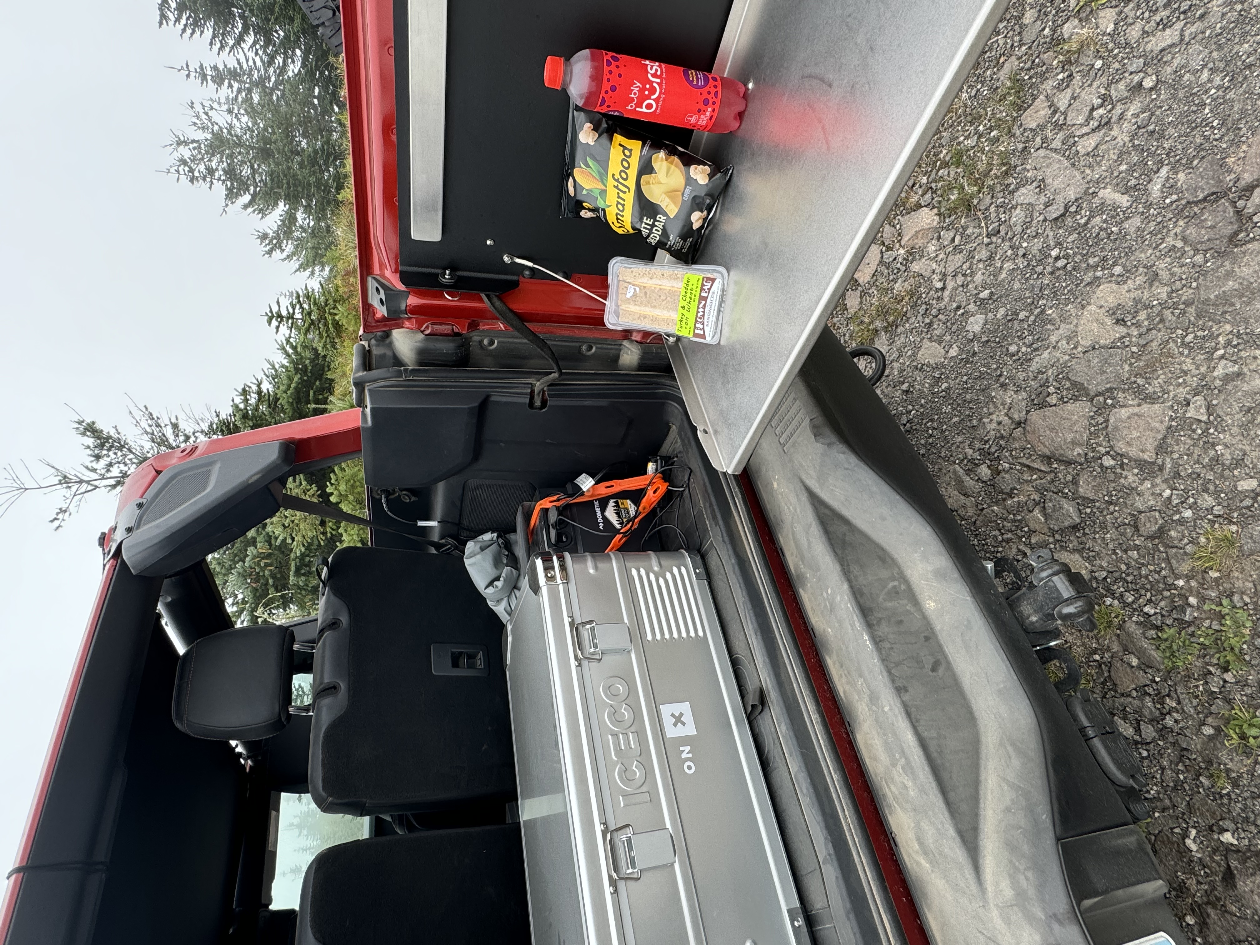
Gourmet Trail Lunch
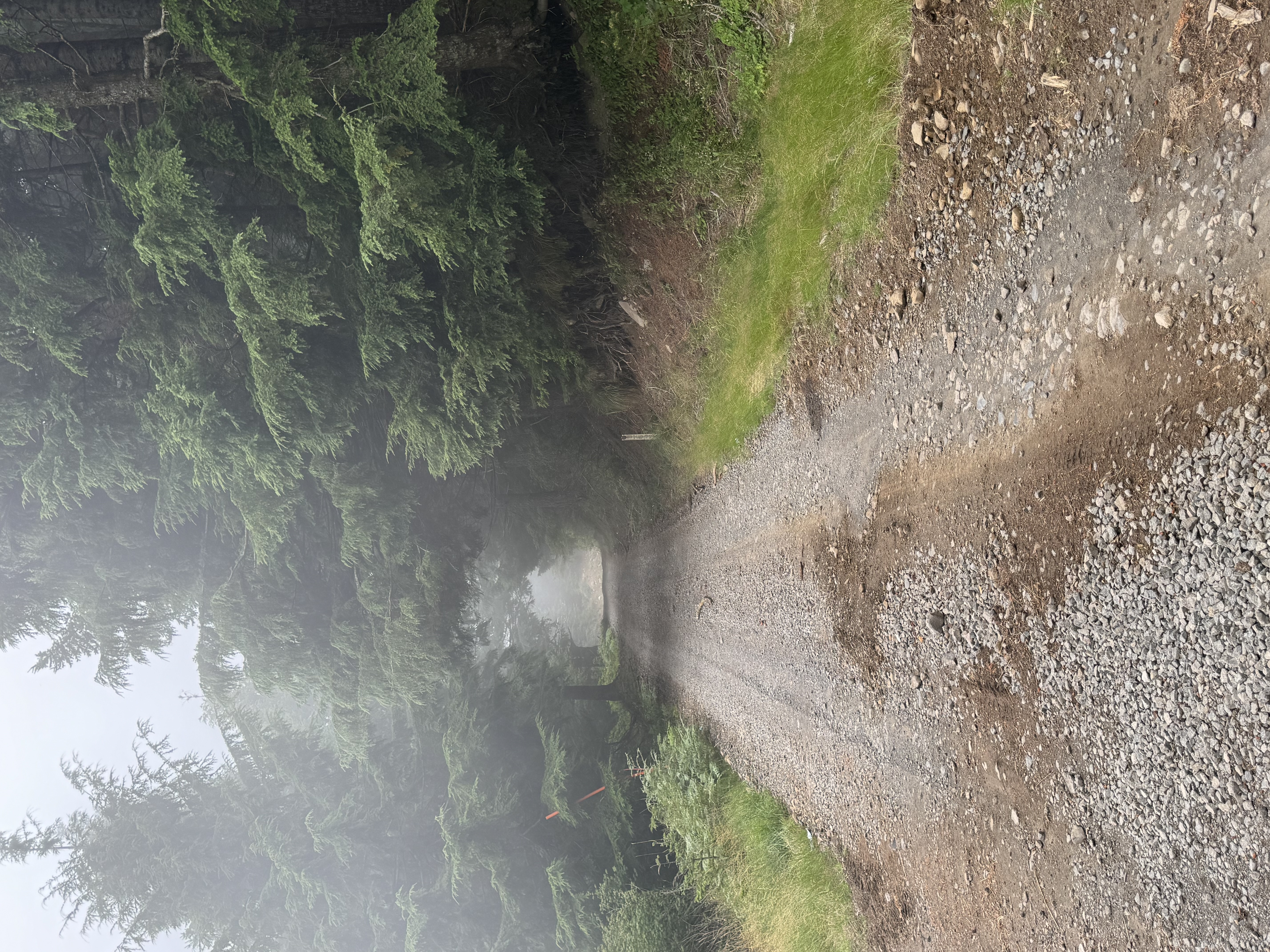
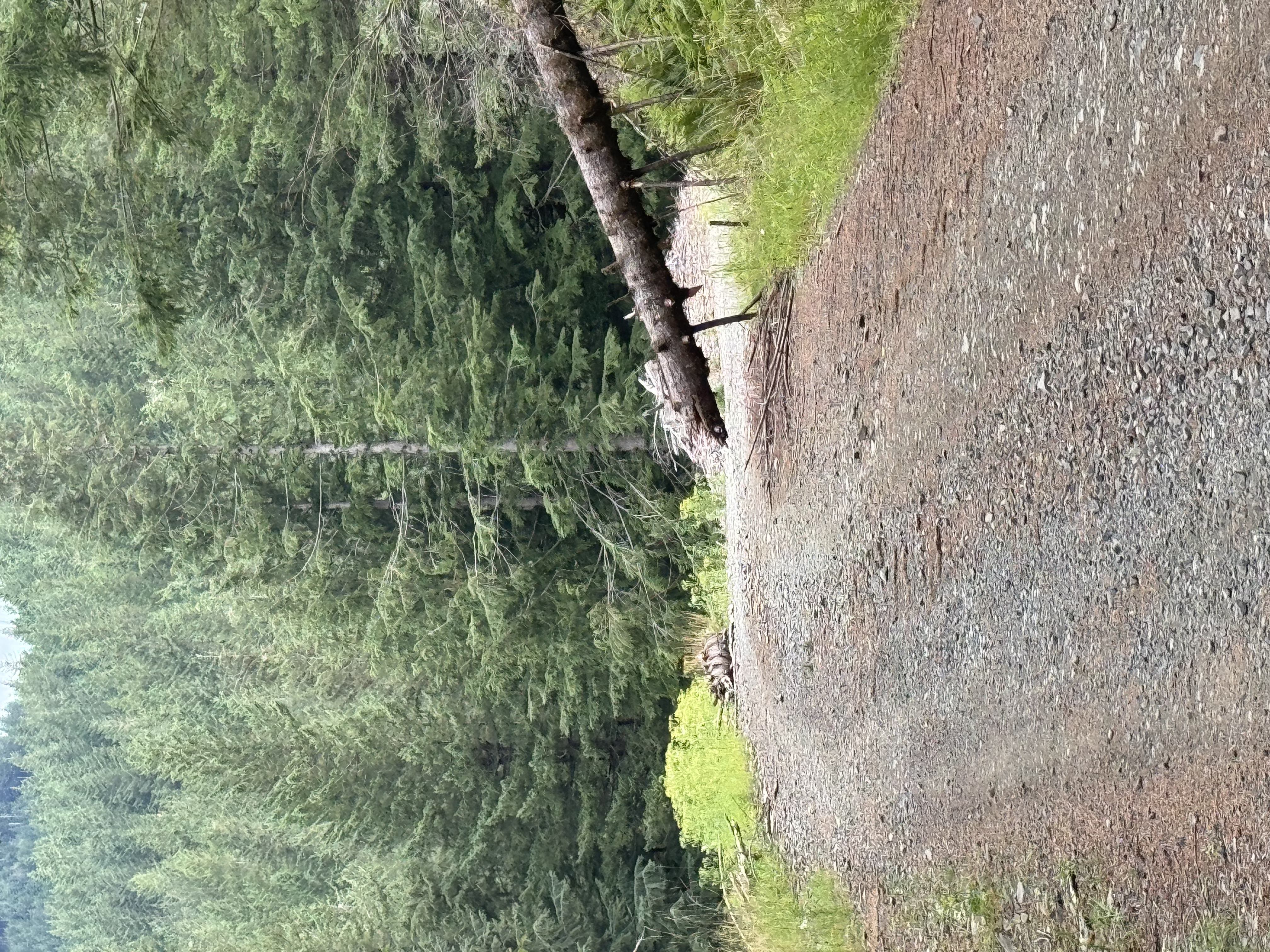
Trails: (scenery in next post)
I attempted to call the local Ranger Station, Washougal Ranger Station, in preparation for the trip but didn't get an answer nor a call back. This trail system is not in a National Forest area and the majority of the land is owned by Washington State. There were a few areas of private land that are owned by a logging company. I did make contact with the logging company and was told I was okay to be on the trails as long as the gates were open and they asked that I stay on the trail and to not deviate off.
I hit the trails about 7am and I encountered light rain for the 1st hour but after that, the rain stopped and the rest of the day was mainly just overcast, foggy with some sporadic light drizzle here and there. Towards the end of the day, the sun did peak though..
Oddly enough, the 1st trail I mapped was not even listed as a trail. It was listed as a well maintained forest road but it was anything but that so I mapped it. This trail was a mix of lose gravel, hard packed gravel and dirt. There were ruts, washouts, washboards and a few mud holes along the way. This was overall a fun trail and probably my 2nd favorite trail of the day. Odd considering it's not even listed as a trail. Funny how that works sometimes.
The 2nd and 3rd trail were easy'ish dirt, lose and hard packed gravel trails with some ruts and washouts both had a little bit of mud but it was wet mud that was just filling the ruts.. None of these trails were overgrown like you'd find in some of the deep forest trails in Gifford National Forest.
The 4th trail ended up being my favorite. I had to abandon this trail about 1 mile before its official end due to trail conditions. This trail started off fairly easy then progressively got worse the further down it I traveled. At one point, there was a very sharp switchback that had a fairly steep climb mixed in with it. Coming out of this switchback reveled a completely different trail. This section was rocky, seriously eroded and had massive ruts, washouts and boulders. There was also what some people call 'woops' but these were so large they were more like 'what_the_holy_oops'.. I dragged the front bumper on a few as they were steep and deep..
At this point there was about 2 miles of the trail left. I made it about another mile through this absolute mess of a trail before calling it quits with about a mile left of it. If I had not been solo and / or if I had a competent spotter I would have tried to continue on but the risk as a solo was to great so I decided to abandon it. The section in question was a rock wall, about 3 feet high, that needed to be traversed but it was not just that, the trail was also seriously eroded, washed out and had a semi challenge rock path leading up to it. Once clearing that rock wall, it did not get much better from what I could tell..
Photos: (more in next post)
The star of the show!:
Gourmet Trail Lunch
Trails: (scenery in next post)
onX Trail Guide & Tread Lightly Member
2023 Badlands 2 door in Hot Pepper Red 🌶️ 🌶️
2023 Badlands 2 door in Hot Pepper Red 🌶️ 🌶️

Deano Bronc, Kenneth