Yes I am an onX trail guide but that has nothing to do with my comments. If a better service existed, I'd use and pay for it 100%.. I enjoy exploring trails that do not already have trail reports. But having basic data on those trails is very important..
There are tens of thousands of trails across the US that have not been properly mapped and described by mapping services like onX, GAIA, Trails Offroad.
Instead of listing tens of thousands, here is one example from onX:
*No Crystal ball or palm reading needed as the basic data is pulled from the USFS and other services..
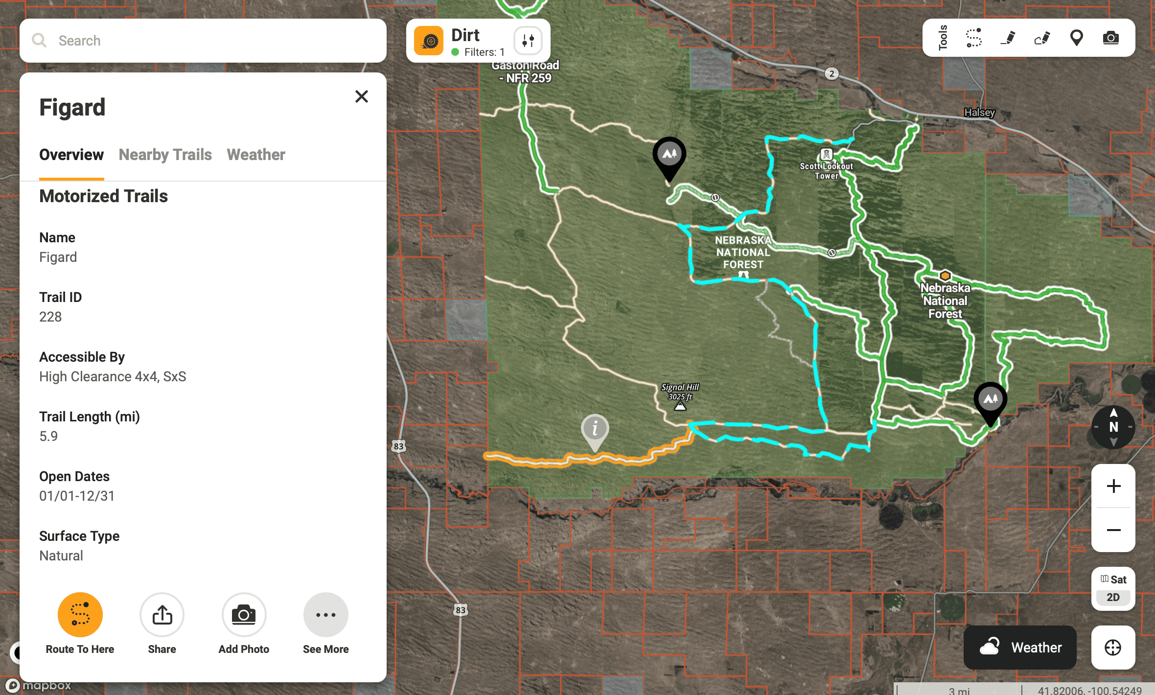
This particular trail, 228, has provided data that at least tells you basic information about the trail. For instance:
- The trail is 5.9 miles long
- The trail is accessible by High Clearance Vehicles, 4x4 and SxS
- The trail terrain type is natural.
- It's open year round
What makes Trails Offroad bad, IMO, is they list none of this data. Clicking on a non mapped trail in Trails Offroad does nothing. It pulls up no data on that trail whatsoever.
If you are trying to discover new trails that someone else has not already mapped and uploaded then this basic information is very helpful.
Here is that same trail in Trails Offroad:

This is very rudimentary and it offers nothing for those looking to explore new trails that have not already been mapped and uploaded to that service..
I am pretty sure that nobody would find the mapping information provided by Trails Offroad for 228 even remotely helpful.. Mainly because there is no information whatsoever provided for 228 by them in their mapping app / service.
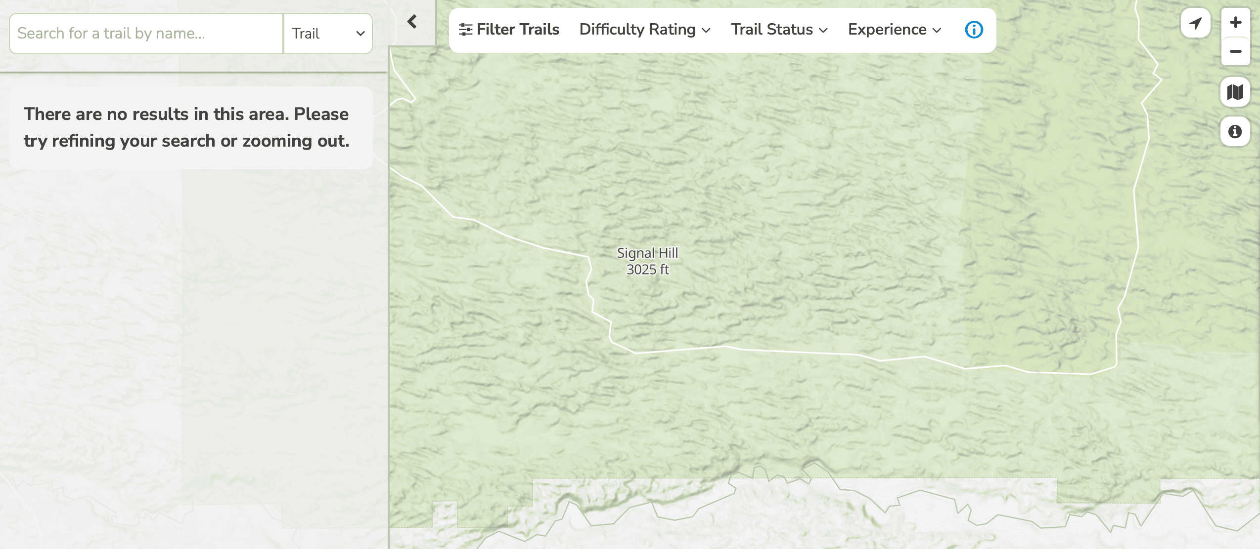
Another issue with Trails Offroad is that I had to zoom in on the map for the trail 228 to even show up. If I were to zoom out any further than what's shown in the screen shot, the trail disappears from view.. If you were looking at an area overview, you'd never even know this trail exists on Trails Offroad..
Here is the slightly zoomed out view in Trails Offroad. 228 does not show or even exist in this view. As a matter of fact, in this view - 90% of the trails are MIA..