
Jun 19, 2024
Finding out if a trail is legal for off-roading is pretty easy. Here are a few mapping systems that will assist you in finding legal off-road trails.
I use both of these when looking for and planning routes on unknown trails with no trail reports. These mapping tools, at their most basic levels, can at least let you know if the trail is legal for the vehicle that you are driving. The NFS maps will obviously only work within a national forest area.
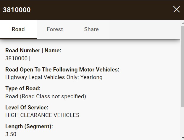
NFS Interactive Map example:
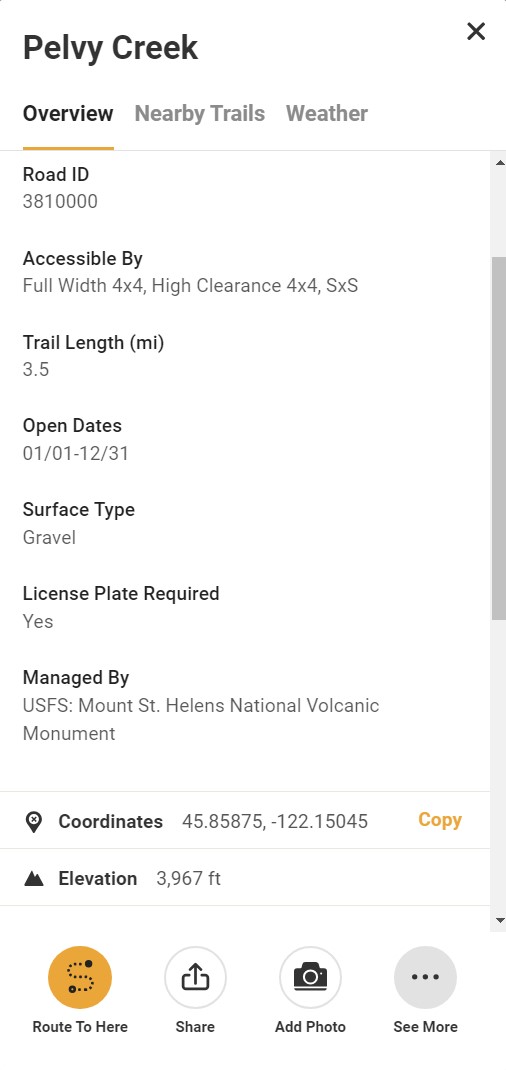
onX example:
These are not trail reports or conditions of trails. These will allow you to see if the trail is legal for your vehicle. If you have onX Elite then you can also see private property boundaries which is a massive bonus in my book. Known and previously mapped trails that are on - onX, will have trail reports, trail conditions and photos.
Hopefully this helps and remember to Tread Lightly and to Pack in and pack out.
What about Gaia you ask? I don't use it as it gives zero information.
- National Forest Service Interactive Map: https://www.fs.usda.gov/ivm/
- A lot of people don't know about this map but it's cool!
- onX Off-Road: https://webmap.onxmaps.com/offroad/map#3.76/40.36/-94.31
- If you have onX Elite you can also see private property
I use both of these when looking for and planning routes on unknown trails with no trail reports. These mapping tools, at their most basic levels, can at least let you know if the trail is legal for the vehicle that you are driving. The NFS maps will obviously only work within a national forest area.
NFS Interactive Map example:
onX example:
These are not trail reports or conditions of trails. These will allow you to see if the trail is legal for your vehicle. If you have onX Elite then you can also see private property boundaries which is a massive bonus in my book. Known and previously mapped trails that are on - onX, will have trail reports, trail conditions and photos.
Hopefully this helps and remember to Tread Lightly and to Pack in and pack out.
What about Gaia you ask? I don't use it as it gives zero information.
onX Trail Guide & Tread Lightly Member
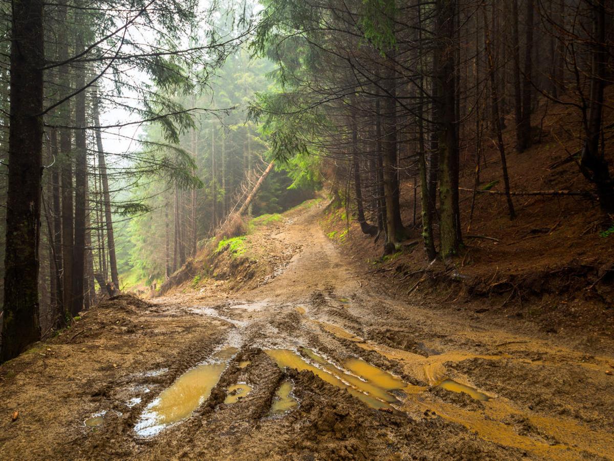
2023 Badlands 2 door in Hot Pepper Red 🌶️ 🌶️
2023 Badlands 2 door in Hot Pepper Red 🌶️ 🌶️

UserError, JoergH